406-381-8931
Image may be subject to copyright
fall

easy strolls around moss mountain inn

If you have a spare hour, there's lots to see

Spoon Lake Trail

Distance: 1.0 mile roundtrip to lake, 2.2 miles roundtrip to Canyon Creek Road
Elevation gain: 410 ft (mostly after the lake)
Trailhead: Informal parking lot 2.2 miles south of Moss Mountain Inn, a few hundred yards north of mile marker 8 on the west side of North Fork Road.

Image may be subject to copyright
snow
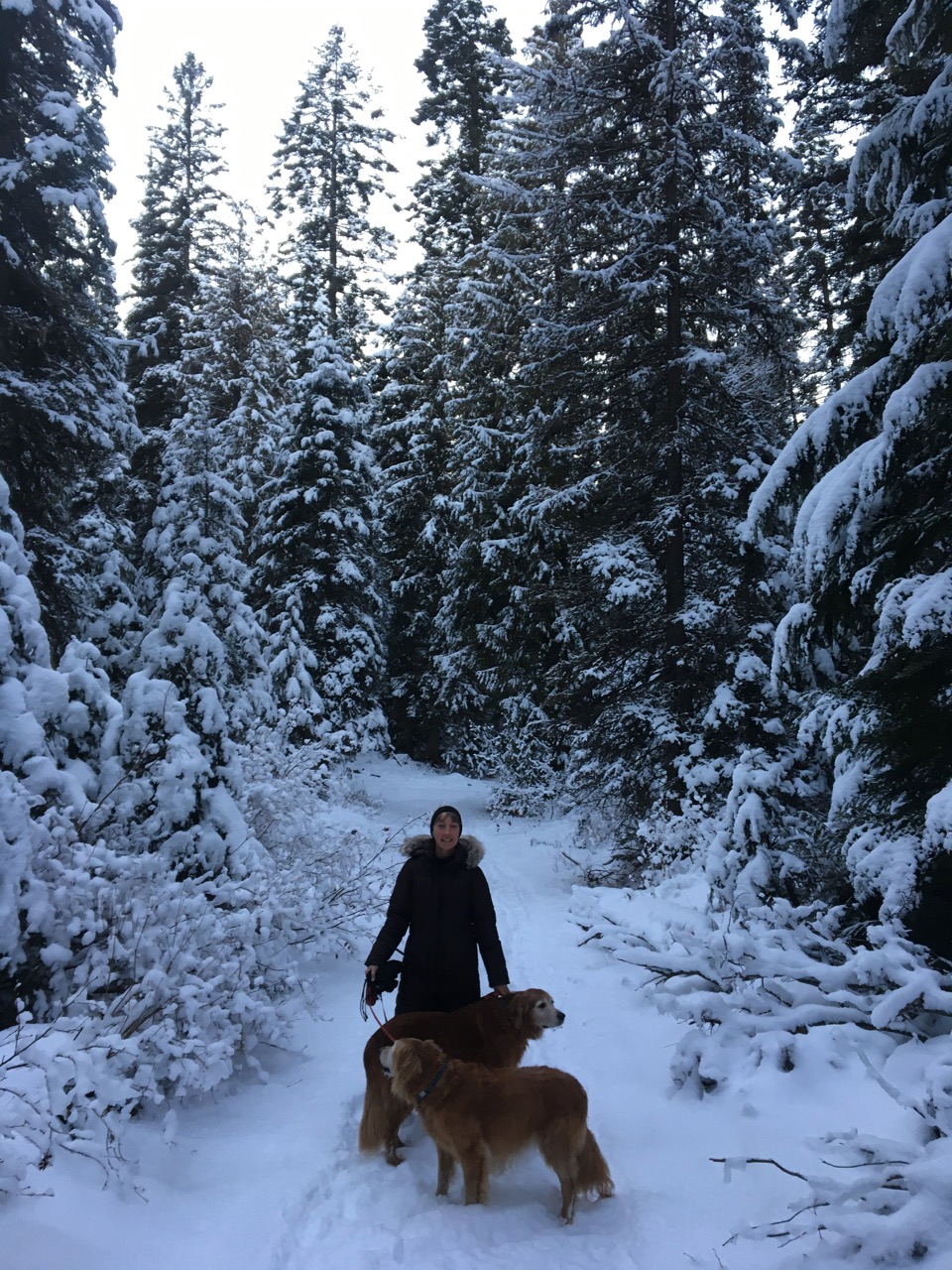
The trail to Spoon Lake is a local secret and used year round being suitable for children, pets, snowshoes and skis. From Moss Mountain Inn, head south 2.2 miles and turn right into a small unmarked parking lot on the west side of the road. The trail stars around the humps on the north side of the parking lot and follows an old logging road through the woods. After a few hundred yards, turn left at the fork (going straight will lead to some private cabins). Soon the trail follows the west side of a pond (more like a marsh in drier parts of the year), through a Larch-Grand Fir forest and along a stream draining Spoon Lake. After 1/2 mile of level walking, the trail meets up with the southeast corner of Spoon Lake. 

One can return to the parking lot via the same route or backtrack 20 yards to a trail that ascends through a thick cedar forest along the south side of the lake. At 0.9 miles the trail dips down into a small draw then skirts along the edge of a meadow west of the lake. To the east of the trail is forest service land, to the west, the meadow, is private land. In the winter look for snowshoe hare and lynx tracks in the snow. At 1.1 miles, the trail ends at Canyon Creek Road. From here you can turn and retrace your route, although hiking in either direction along Canyon Creek Road is an option also.
Forest Service Road 10936

Distance: 3 miles roundtrip from MMI
Elevation Gain: 400 ft
Trailhead:  West side of North Fork Road, 1/2 mile north of MMI, just past no passing zone sign
snow
Forest Service Road 10936 is a short hike near Moss Mountain Inn along an old logging road that ascends the ridge to the west of the Inn.  We have seen bear tracks, wolf tracks, lynx and fox tracks here.  This locale along the road is unique because it is a narrow strip of land not affected by recent wildfires.  The big Columbia Falls fire of 1929 burned to just south of here.  The area just to the north was burned by the 2003 Robert Fire.  Given the lack of recent fires in this narrow strip, halfway up, big old growth larch and grand fir are present with cedar and hemlock at the top.  Glimpses of the Apgar range to the east appear at various points.  After winding to the northeast, the trail ends at some private property.  Ambitious hikers could bushwhack straight west from here to the Canyon Creek Road area but the forest is very dense and some steep cliffs to the west need to be skirted.  The climb is a good workout for your dogs or for you if you are snowshoeing or using your climbing skins.

Below left:  Glimpses of the Apgar Range through the trees
Below right:  The snow gets really deep up on the ridge
Image may be subject to copyright
dogs

Glacier Rim

Distance:  2.5 miles round trip from MMI
Elevation Gain:  200 ft on way back
Route:  Walk north on North Fork Road for 1 mile then turn right at Glacier Rim sign
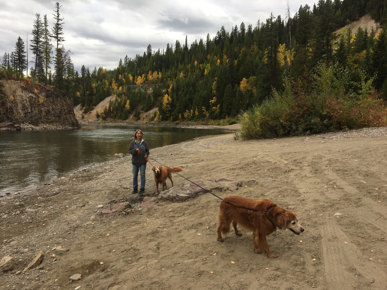
Glacier Rim is a popular access to the North Fork of the Flathead for fishing and rafting from North Fork Road.  Most of the walk to get here from MMI is along the road, but you get some really nice views near Glacier Rim.  Look for the Bald Eagle next across the river and upstream, and keep your eyes open for bear and moose.

Below left:  Approach to Glacier Rim, looking south
Below right:  Approach to Glacier Rim after snowfall, looking north

Blankenship Flats

Distance:  Flexible
Elevation gain:  minimal
Route:  From MMI head south along North Fork Road for about 1/4 mile, then leave the road for the open forest on the west side of the road
Image may be subject to copyright
fall
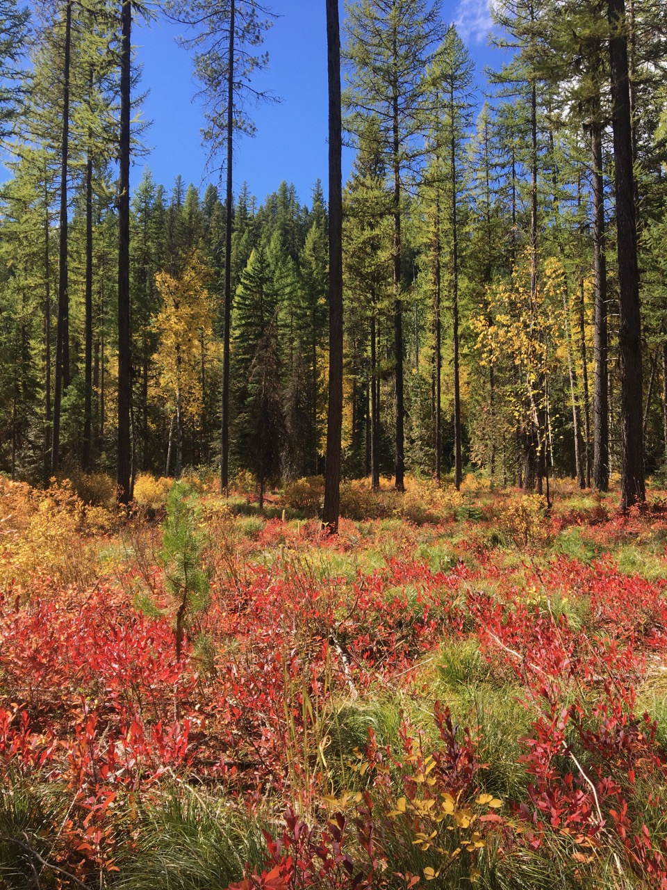
This area makes for a pretty stroll, especially in the fall when the huckleberries turn red (see above).  To make for a more vigorous hike, consider heading south through the woods to Bailey Lake or west to the ridge overlooking Bailey Lake.
lake

Lion Lake

Distance:  1.4 miles one way
Elevation gain: 40 ft
Trailheads:  North and South Lion Lake picnic areas, 1 mile south of Highway 2 on the road leading to Hungry Horse Dam, about a 25 minute drive from Moss Mountain Inn
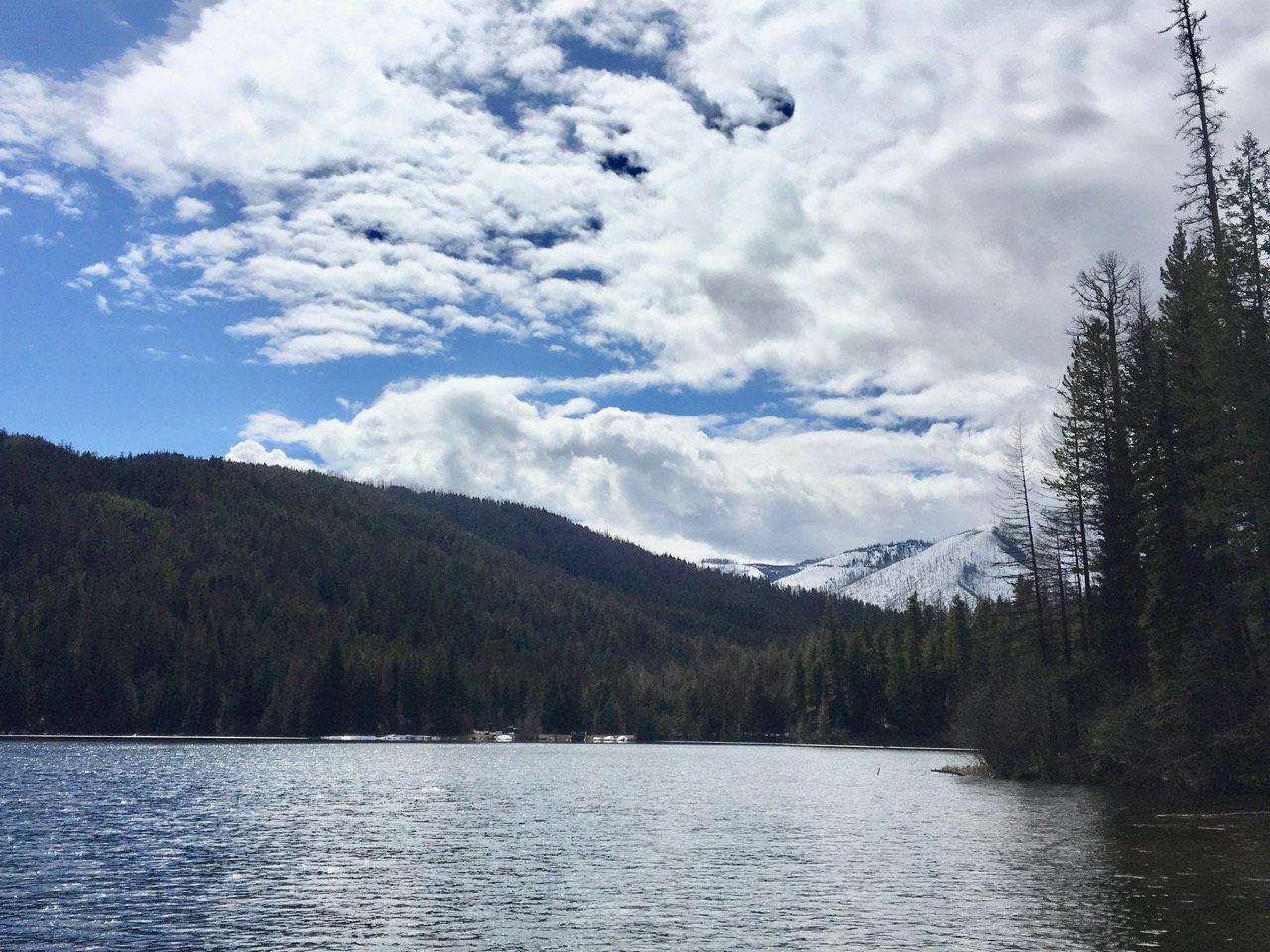
With an elevation of only 3500 ft, the Lion Lake Trail is free of snow earlier in the spring and later in the fall than many local trails.  Wide and easy to follow around the east side of the lake, ups and downs are minimal and the trail is dog friendly.  Bring a sack lunch and eat in the South or North Picnic areas after the hike then drive farther up the road to see Hungry Horse Dam.

Below left:  easy hiking on a wide trail
Below right:  View of the lake from the Northeast side