406-381-8931
Image may be subject to copyright
fall

Flathead National Forest Hikes

While Glacier National Park is a million acres in size with 700 miles of hiking trails, Flathead National Forest is over twice as big, over 2.4 million acres with 2400 miles of hiking trails!  It might take me a few centuries to describe them all.  Go to fs.usda.gov for a complete listing of trails.

Jewel Basin

Located east of Bigfork Montana, the Jewel Basin is a scenic high altitude basin with a series of lakes and several hiking trails of various lengths.  The trailhead is located at the end of Forest Service Road 5392, a gravel road that climbs precariously to near the top of a ridge a few miles outside the basin.
Distance:  4-20 miles for day hikes, depending on what route/loop you choose
Elevation Gain:  varies, trailhead is at 5500 ft
Getting there:  From Highway 83 or McCaffery Road, take Echo Lake Road to Jewel Basin Road/Forest Service Road 5392 to its end at Camp Misery
surrounding area
This network of trails offers Glacier Park Scenery without some of the hassles.  The drive up the mountain can be a bit stressful, as the narrow gravel road has a lot of blind corners and no guardrails.  The area is popular with locals on the weekends, so visit during the week if you want to have the place to your self.  There are so many trail branches and loops, make sure you print out a trail map or load one onto your phone before you go.  I've been trying to learn how Camp Misery (location of the trailhead) got its name but haven't found anything yet.

Ousel Peak

Sure, a couple million of people a year drive by the Ousel Peak trailhead on Highway 2, but only a handful bother to do the hike. It's not a hike for just anyone. The trail is probably only second to Mt. Brown Lookout for elevation gain and steepness in the Glacier area. Sources disagree on the exact distance and elevation gain, but the trail gains somewhere between 3800 and 3900 feet over 3.3 to 3.6 miles.
surrounding area
surrounding area

.

The trailhead is easy to miss and starts near mile marker 159 on Highway 2, 6.5 miles east of West Glacier on Highway 2. There are signs for the trailhead on highway 2, but the trailhead is hidden when driving from the west. An informal parking spot along a driveway is located on the north side of the road.

The trail ascends the north side of Ousel Peak, and dense forest provides shade most of the way up. Early on, the trail climbs through a mature lodgepole pine forest with some cedar and hemlock. After a mile, a sign indicates entry into the Great Bear Wilderness.

Left:  Views to the north into Glacier National Park include seldom seen but huge Harrison Lake

.

Right:  Views to the south include Pyramid Peak (left side of photo).

At the top, a few old wires remain from a fire lookout that stood here from 1931 to 1957.

Oh and what's an ousel? An ousel (also known as the American Dipper) is a songbird that frequents streams in the Glacier area. Known for its ability to walk along the bottom of fast moving streams, the bird has a beautiful flute-like song.
surrounding area
surrounding area

Stanton Lake

Distance: 4.3 miles round trip
Elevation gain: 750 ft
Trailhead:  Highway 2, about 17 miles east of West Glacier, near mile marker 169.  The parking area is the first driveway east of Stanton Lake Lodge

Stanton Lake is features pristine waters and impressive mountain views after a short 2 mile hike.   Most of the elevation gain is in the first half mile, then a good trail leads to the foot of the lake.  One can extend the hike by hiking on a trail along the west side of the lake another mile or so.  This is like a Glacier Park hike but without the crowds.

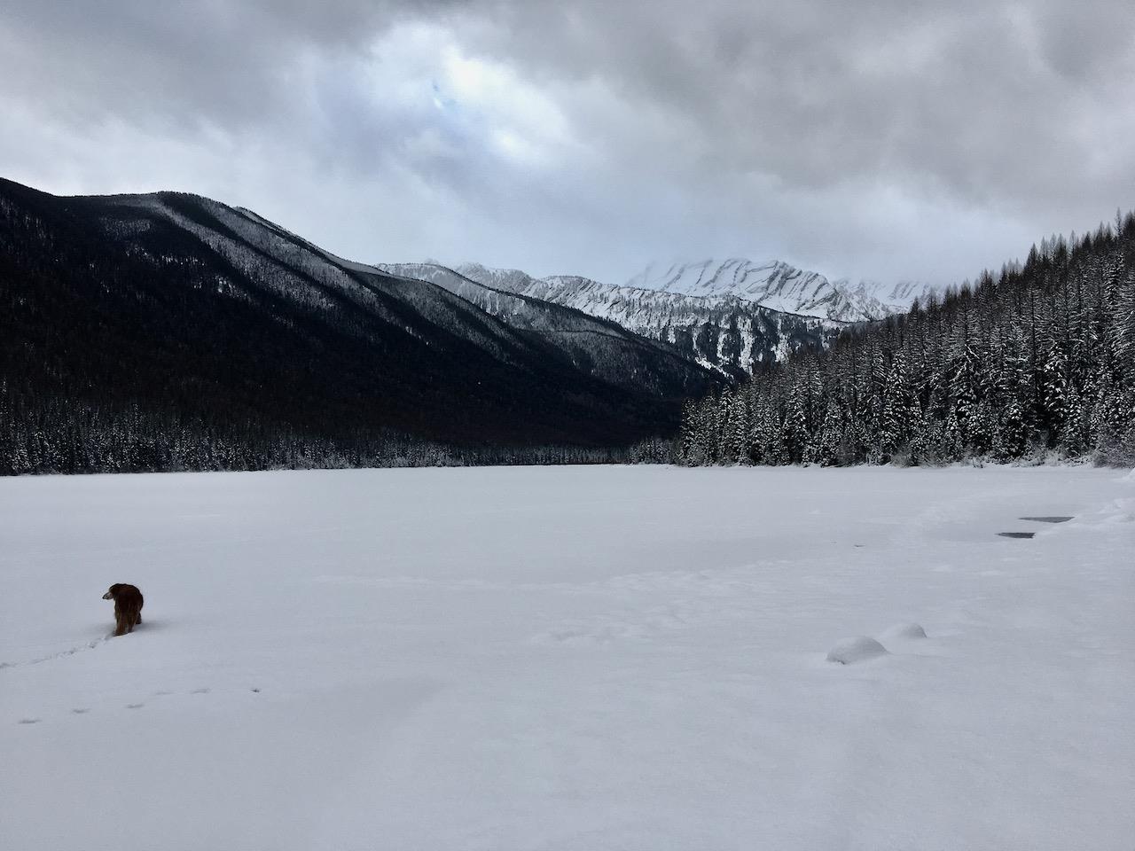
At left:  Stanton Lake in winter, a popular snowshoeing destination.
Image may be subject to copyright
surrounding area

Skiumah

Take in a bit of the Great Bear Wilderness in summer or winter on this moderate hike

Distance:  3.2 miles round trip
Elevation gain: 1030 ft
Trailhead:  Highway 2 eleven miles east of West Glacier

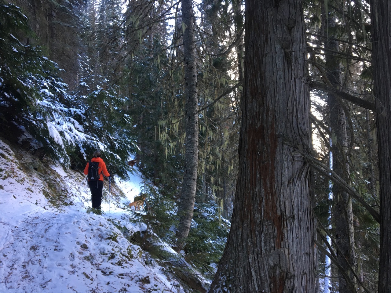
Left:  Passing along huge cedars on the initial climb
The Skiumah trail (# 204 on Forest Service maps) is a half day year-round hike departing from Highway 2 that ascends to a small lake in a cozy glacial cirque and is a great introduction to the Great Bear Wilderness. In the summer, one can avoid the crowds on a mostly shaded route. The trail can be hiked in the winter also given its year round access from a plowed highway. The trailhead is located eleven miles east of West Glacier (there is some disagreement about the distance in manuals and online) and is marked on the Highway. Parking is on the North Side of Highway 2 across the road from the trailhead. There is no toilet. The Forest Service rates it as a moderate trail 3.2 miles roundtrip with a 1030 elevation gain. Our pedometer read the roundtrip distance as four miles with a 1300 ft elevation gain. The ascent is steady but our elderly golden retrievers Riley and Stella were able to complete the climb with only a little coaxing.

We hiked the trail on an early December day when the trail was covered in several inches of packed snow, calling for boot cleats. Later in the winter when more snow accumulates, it is a nice trail for snowshoes. Skiing is possible in winter also, but the trail is narrow and would give the climbing skins quite a workout, leaving it appropriate for hardcore backcountry skiers only.  

It was a crisp 8 F outside and a bit cloudy and hazy initially. After a quarter mile or so on an old Forest Service road, the trail takes a left (unmarked from the east, there is an old sign just to the west of the junction). Beginning up the north side of Mount Penrose (the trail is in the Penrose drainage, not the Penrose drain, more on that later) the trail quickly ascends to Skiumah Creek. The forest consists of Englemann Spruce, Douglass fir, larch and cedar, with some hemlock farther up the trail.  

Before turning left, the Great Bear trail branches off to the next drainage to the west, but we were unable to see this other trail in the snow. After following above the creek a ways, the trail actually crosses it on a log bridge at mile 1.2, after 900 ft of elevation gain. A few hundred yards later a small sign marks the entrance to the Great Bear Wilderness. The trail evens out and crosses through a swampy area before ascending a glacial moraine just before the lake. According to a local elder the lake was quite low when we visited. Across the lake the back wall of the cirque is popular with backcountry skiers and ice climbers but is avalanche prone and has caught unlucky adventurers in the past.

Below left:  looking north into Glacier National Park on the initial climb
Below right:  End of the trail at the Lake, Mt. Penrose on the left side
Image may be subject to copyright
Regarding Mount Penrose, the mountain was indeed named after the inventor of the Penrose surgical drain, Charles Bingham Penrose. Dr. Penrose was sort of a turn of the century Forest Gump, involving himself in one infamous event after another. After graduating from medical school in Philadelphia, Dr. Penrose became a prominent gynecologic surgeon and inventor of the surgical drain. Later, contracting tuberculosis, Dr. Penrose moved to Wyoming for the fresh air but in the 1890's found himself fighting on the side of the Wyoming Stock Growers Association in their series of battles against a group of smaller ranchers know as the Johnson County War. The fighting pitted the Johnson County sheriff on the side of the smaller ranchers and the Governor and the US Calvary taking the side of the Wyoming Stock Growers Association. At one point Dr. Penrose was arrested and nearly lynched, and his letters about the whole affair helped author Owen Wister write "The Virginian" which was later developed into the notorious box office flop, "Heaven's Gate." (Ironic, as Heaven's Gate was filmed largely in the Glacier National Park area).

After escaping Wyoming, Dr. Penrose headed back east and wrote a textbook on Gynecology and founded the world's first zoologic research lab based at a zoo in Philadelphia. The lure of the West could not hold Dr. Penrose back east long, however, and 1907 found him bear hunting on the other side of Mt Penrose from Skiumah. He was elated to shoot a rare white yearling grizzly with his Mauser. Unfortunately, his glee was short lived as the dead bear's mother promptly mauled him in revenge, giving the doctor thigh, chest and throat wounds, as well as an open fracture of the left wrist. Members of his party managed to transport him cross country to the Great Northern tracks and Dr. Penrose spent the next few months in one of the Mayo Clinic's hospitals. This brings up the question, during surgeries for his wounds, did Dr. Penrose have Penrose drains placed? Probably.

Charles Bingham Penrose never returned to Montana.

References

Fraley, John, "Grizzly attack on Mount Penrose, C.B. Penrose's grizzly hunt and the naming of the Great Bear Wilderness" in "Wild River Pioneers". 2008

Strawberry Lake

This trail Northeast of Bigfork is located near the Jewel Basin
Distance:  5.6 miles round trip
Elevation gain: 1500 ft
Directions:
From Highway 83 turn  onto Echo Lake Rd. After 2.2 miles, turn slightly right onto Foothill Rd. then keep left after 1.1 miles to stay on the Foothill Rd. Drive for 2.7 miles, then turn right onto Road 5390 and drive for 3.3 miles, the trailhead is located at the end of this road.
Image may be subject to copyright
surrounding area
The trailhead is well marked with a sign and small parking lot. There is no toilet. After crossing a small stream (the only water on the ascent), the trail ascends at a moderate pace through a vast stand of Western Hemlock. Western Hemlock is distinguished by its cute little fairly needles and small cones that are always at the tip of the branch, in contrast to other conifers.

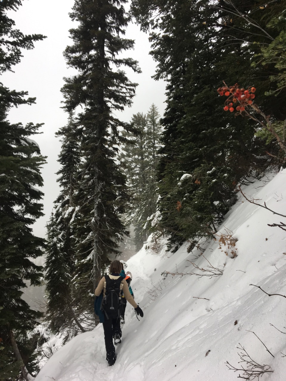
We ran into packed snow shortly after starting and everyone wore spikes on their boots. At least a few other folks had been on the trail in the past few days, packing down the snow. The trail continues to ascend the west side of the Swan Mountain Range for the next few miles via some broad switchbacks. At the top, the forest thins and a steep hillside is ascended about 1/2 mile from the lake. We had to stop here as there was a nearly vertical snowdrift or small avalanche that covered the trail and posed danger and we had no ice axes.

surrounding area

Smoky Range Trail and Standard Peak

Located not far from the Moss Mountain Inn, the Smoky Range Trail offers impressive views of Glacier National Park and the Whitefish Range, traveling into some very remote areas.

Distance:  18.6 miles round trip if taken to end, 6 miles from the trailhead to Standard Peak and Back.  Elevation gain to Standard Peak is about 2,000 ft

Directions:  From Moss Mountain Inn, head north on North Fork Road for 3.2 miles then turn left onto McGinnis Creek Road/Forest Service Road 803 and go 6 miles until you see the sign on the left.  
The Smokey Range trail starts high and skirts along the top of the Smoky Range, a series of mountain ridges north of Columbia Falls and Whitefish.  The east trailhead, near Moss Mountain Inn, can be a bit tricky to find as there is only a small sign on the left side of the road to mark it.  There is no parking lot, just park in a spot where the shoulder widens out nearby.  If you get to the end of the road, you missed the trailhead, go back 1/2 mile.
Around the middle of the trail, the trail passes over the summit of Standard Peak.  Views from here are amazing, showing a panorama of mountain ranges in the east from Canada to Glacier National Park, to the Swan Range in the south.

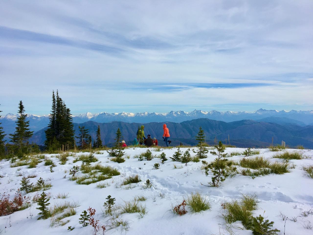
Below:  Looking east into Glacier National Park from the top of Standard Peak.
surrounding area
surrounding area

Firefighter Lookout

A steady climb to exhilarating views of the Flathead Range and Hungry Horse Reservoir

Distance:  8 miles
Elevation gain:  1450 ft
Opens:  Can be hiked or snowshoed all year, the gate is opened to vehicles July 1
Trailhead:  About 15 miles south of Martin City on East Reservoir Road/FS Road 38
Open to:  Hiking, biking, horses, dogs

.

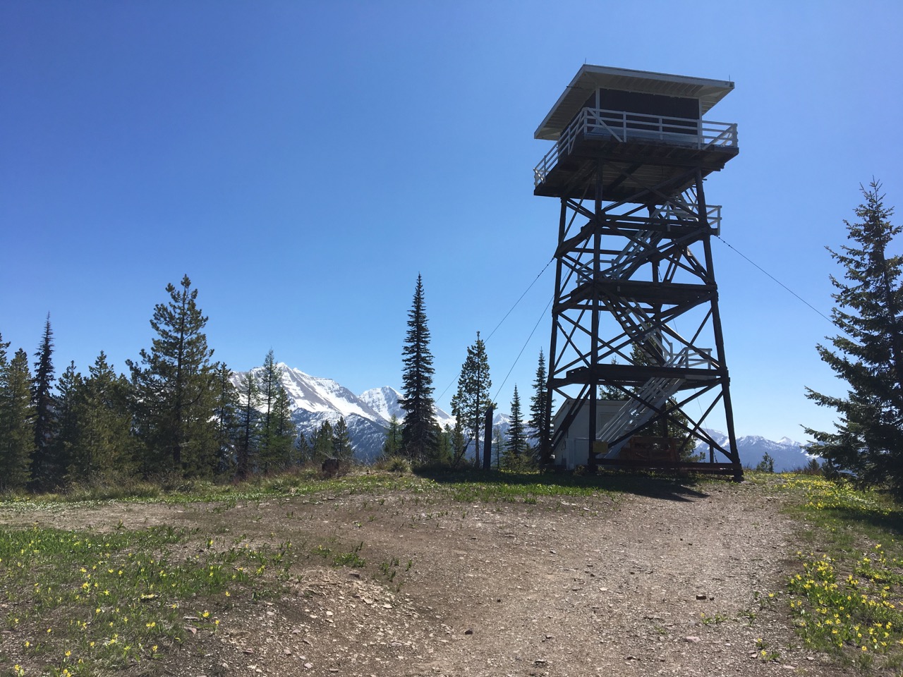
The Firefighter Lookout trail is a forest service road (38B) that climbs steadily for 4 miles up the east side of a wooded ridge to an active fire lookout.  Despite the climb, the hiking is easy due to the gradual grades and well maintained road.
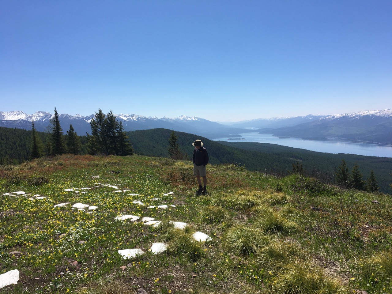
Right:  Looking south from the top over Hungry Horse Reservoir and the Flathead Range
surrounding area
The trailhead to Firefighter Lookout is on the west side of the road, 15 miles south of Martin City, marked by two gates.  The gate on the right leads to Firefighter Lookout and is open to vehicles after July 1.  The climb starts in a mixed forest of lodgepole pine, larch and Douglas fir, heading west, then south, then north on the way up the ridge.  Great Northern Mountain dominates the skyline to the east.  At the top, Hungry Horse Reservoir fills the valley, with Jewel Basin visible to the southwest.  In May, wildflowers are abundant; in July, enjoy some huckleberries.

Below left:  Glacier Lilies in the foreground, Jewel Basin to the Southwest
Below right:  Great Northern Mountain viewed through the lookout tower

Glacier View Mountain and Demmers Ridge

This is a mountain with trails you can climb from three different directions.  The peak offers impressive views of the Whitefish Range to the west, the North Fork Valley to the Northeast, and Glacier National Park to the east.
surrounding area
Glacier View Mountain trails offer a number of options.  You can hike in and out from one trailhead, drop a car off at one trailhead and hike back from another, or even do a loop around the south side of the mountain.
The easiest route up Glacier View Mountain is via trail # 381 from the west off Forest Service Road 317.  The trailhead is 1/4 mile north of the junction of Forest Service Roads 316 and 317 and is easy to miss.  There is no parking lot, just a sign (which is often broken off at the base) and a narrow gap between the trees alongside the road.  The trail starts across an area burned in the 2001 Moose Fire and stays in open country the whole way up.   The route ascends via dozens of steady switchbacks to the notch between Demmer's Ridge where it joins up with the Demmer's Ridge trail # 266 to ascend Glacier View Mountain from the north side.
Demmer's Ridge trail # 266 is the route from the north, starting at the North Fork Road and ending near the Camas Bridge.  The north trailhead for Demmer's Ridge starts in an old gravel pit that doubles as a trailhead parking lot then ascends via switchbacks up to the top of the ridge.  The area has been reseeded by thick stands of lodgepole pine after the 2001 Moose Fire and as growing conditions get tougher as one ascends the ridge, the pines get shorter.   Once one reaches the top of the ridge, the trail turns south and ascends multiple ridge humps.  A trail register is located in a red coffee can along the middle of the ridge.  It looks like the trail currently gets a few groups of hikers every week.  After traversing south along the top of the ridge, the trail curves around the south side of the ridge into the notch between Glacier View Mountain and Demmer's Ridge, joining up with trail # 266 on the southwest side of the ridge.
Once trails # 266 and 381 join up on the southwest side of Demmer's Ridge, the trail heads due south through the notch, then winds up the north then west sides of Glacier View Mountain.  Some of the steepest parts of the trail are here, but rest assured, you are near the top.
At the top of Glacier View Mountain, veiws in every direction are impressive.  To the northeast, the North Fork Valley and the Livingstone Range are presented, along with Huckleberry Mountain immediately to the south.  To the south is the Flathead Valley with views of Flathead Lake.  To the west is the Whitefish Range.
The trail accessing Glacier View Mountain from the east starts across the road from a small parking area just north of the Camas Entrance turnoff.  The trail ascends the ridge jutting out east from the mountain and is shorter than the other two routes to the top

Forks Patrol Trail/Dead Horse Ridge

A big climb with big views away from the crowds.

Distance:  7.8 miles one way if hiked to end
Elevation Gain:  2500 ft
Opens:  Whenever Forest Service Road 316 is free of snow, typically May-October
Open to:  Hiking, biking, horses, dogs
Trailhead:  7.6 miles up Forest Service Road 316

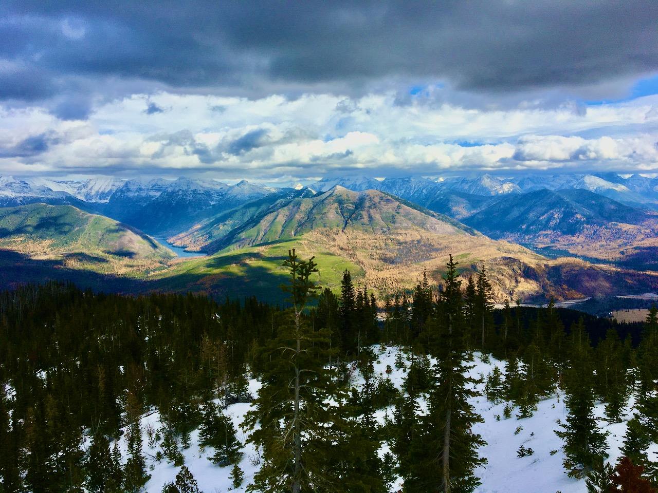
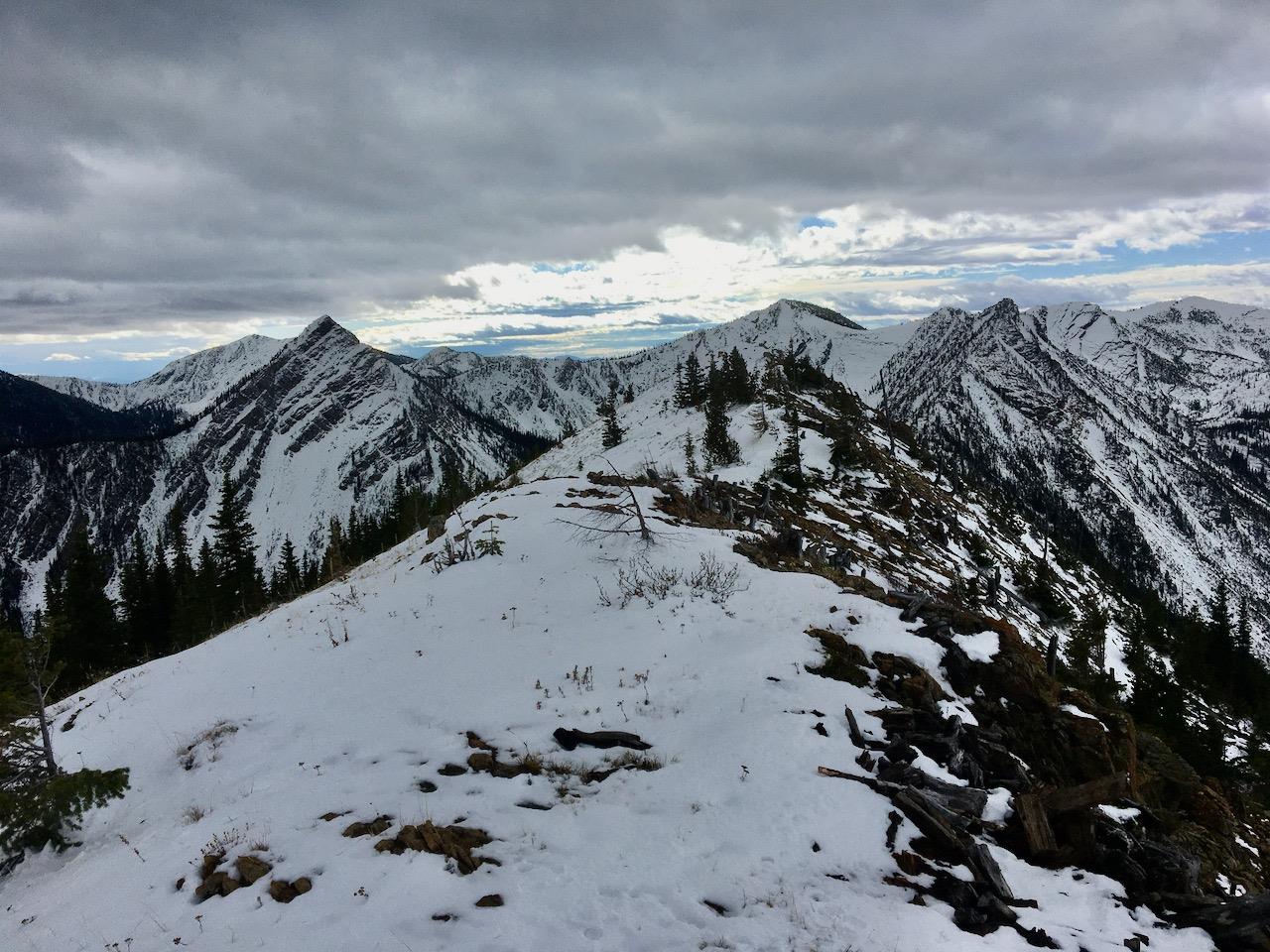
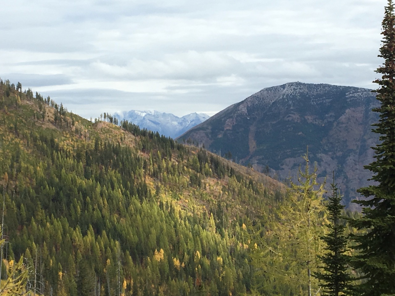
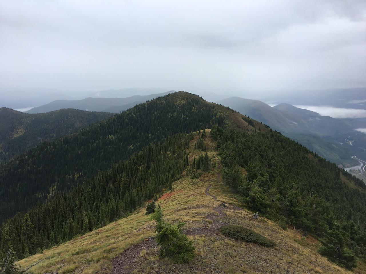
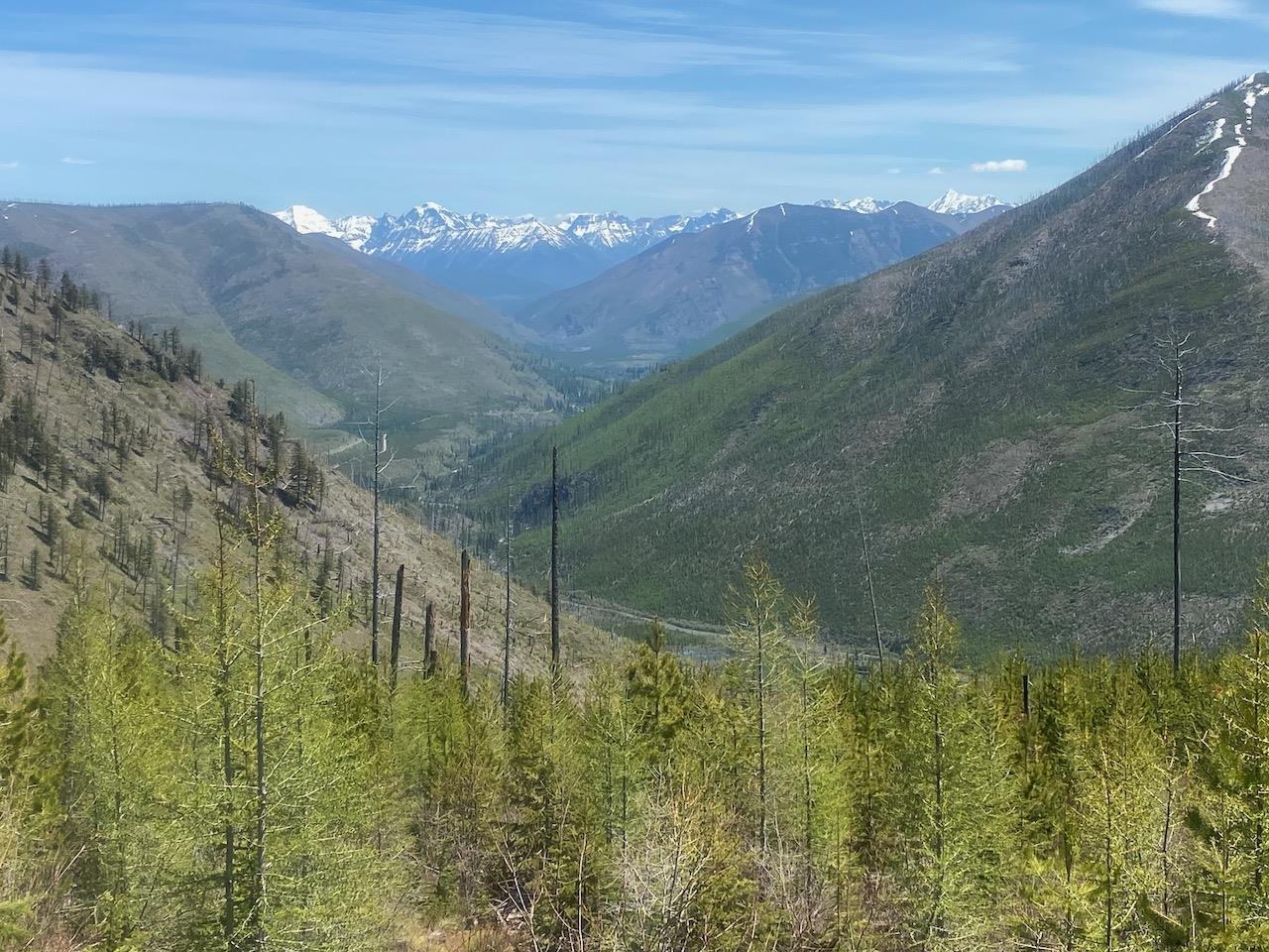
Right photo:  Looking east on the hike up the ridge.  In the foreground at left is Glacier View Mountain facing Huckleberry Mountain.  In the background are Mt. Brown, Mt. Edwards, and Gunsight Mountain.


surrounding area
surrounding area

.

The Forks Patrol Trail (Glacier View District Trail 452) is a vigorous climb offering great views away from the crowds of Glacier National Park.  Located about 8 miles west of the Camas Entrance to Glacier National Park take North Fork Road to the Big Creek Road # 316.  Drive about 7.6 miles west on 316 and watch for the Forks Patrol Trailhead sign on the right (north) side.  If you get to the Moose Lake turnoff, you went about 1/4 mile too far.  Park at one of the wide spots in the road nearby and get ready to climb.

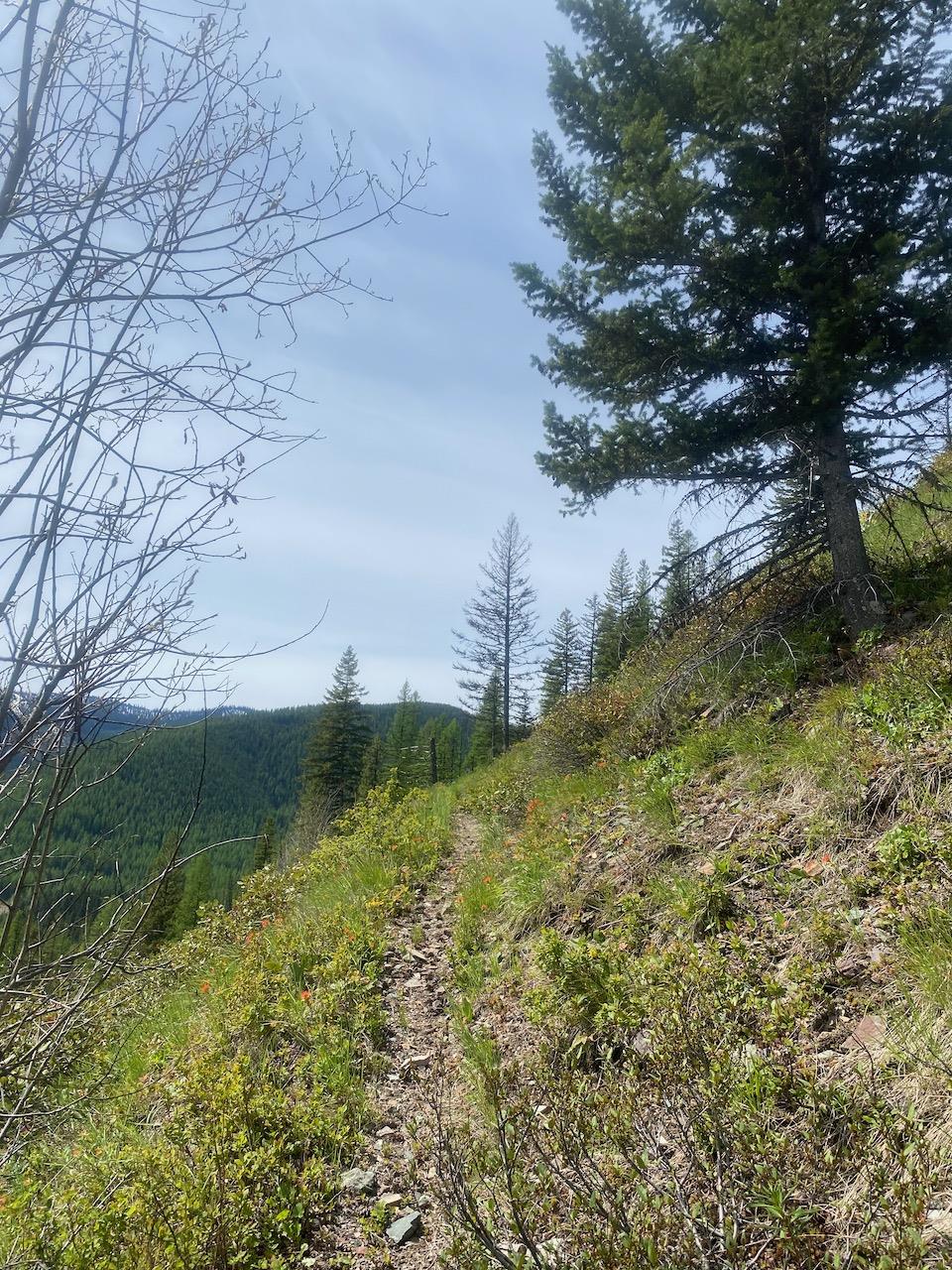
The first 4 miles of trail is all uphill on a south facing hillside, meaning it will be hot in midsummer, but free of snow early and late in the season.  Owing to the 2001 Moose Fire, the forest is young, allowing nice views of the surrounding mountains most of the way up.  After ascending several broad, well constructed switchbacks, the trail meets up with an old logging road, then turns steep for a short section before meeting up with another old logging road on the southwest side of the ridge.  From here, the final ascent begins through some wildflower meadows and old burn.  Snow lingers into early summer around the top. Bring plenty of water as the trail crosses no streams on the way up.

.

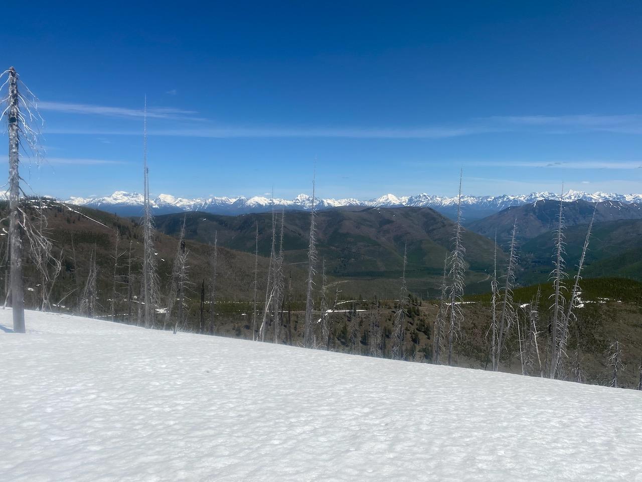
Since Dead Horse Ridge tops out at 6497 ft, you'll be looking down at Glacier View Mountain, which is 300 ft shorter.  Most of the peaks of the Livingston Range can be viewed due to the relatively high elevation and lack of trees at the top.

You can either turn around at this point or continue north along Dead Horse Ridge, where there won't be any more elevation gain.  The trail gradually descends to Forest Service Road 1693 (open September 1 - Nov 30).

We hiked this trail in late May and from the looks of the snow, we were the first ones up for the season, beating even a grizzly bear.  On the way up, there were no grizzly tracks in the snow, but on the way back down, we saw that a subadult grizzly had followed us 1/4 mile or so through the snow.
surrounding area